Rihla (The Journey) – was the short title of a 14th
Century (1355 CE) book written in Fez by the Islamic legal scholar Ibn Jazayy
al-Kalbi of Granada who recorded and then transcribed the dictated travelogue
of the Tangerian, Ibn Battuta. The book’s full title was A Gift to Those who Contemplate the Wonders of Cities and the Marvels
of Travelling and somehow the title of Ibn Jazayy's book captures the ethos
of many of the city and country journeys I have been lucky to take in past
years.
This rihla is about Galway City and some aspects of its 17th
and 19th century commercial fabric.

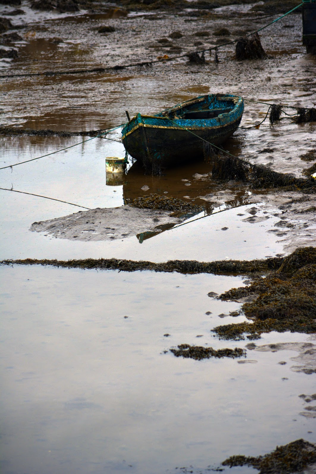
Speed's Map of Connaught 1610 (own collection)
In the manner of all
journeys, often the most local, the most intimate can present the greatest discovery
of all. Because these journeys are so immediate, so distorted by a familiarity with
people and location, a true perception of the spaces you encounter is often
found wanting; but sometimes in an instant or an eternity the history, the
legacy and the language of those spaces catches up on you to whisper in your
ear, to somehow polarise you in an ever revolving landscape. All cities have
that capacity to confound, but small coastal cities especially, given the
confines of their existence, confines dictated by the threat from the sea.
A number of years ago I had
the pleasure of visiting Baelo Claudia (http://deworde.blogspot.ie/2013/06/rihla-journey-39-baelo-claudia-south.html),
a very small excavated Roman coastal town in the southwest of Spain. And though
it was small, it contained in compact perfection every feature of what made a
Roman city work: the Decumanus Maximus, an amphitheatre, the Agora, temples,
public baths, the Forum etc..
Galway City, on the west
coast of Ireland is a also a small coastal town, but in contrast to Baelo
Claudia it is a living thing, its heartbeat and tempo dictated by a medieval
footprint that remains very much intact.

1651 Pictorial Map of Galway
I have lived in Galway for
almost 24 years and have walked its streets again and again, for pleasure and
for commerce, not fully sensing some of the legacy of language and landscape
that have echoed in my footsteps. You measure your journeys in paces not
blocks, in cubits not yards. I use ‘cubits’ deliberately because on those
journeys you can reach out and touch the lives, loves and livelihoods of nearly
800 years.
Recently while doing some
map research for my ‘quay’ travels in the Connemara isles I decided to
concentrate on the city for a while to try and determine the commercial
relationship in terms of maritime access between the islands and the city. The
first ports of embarcation were James Hardiman’s 1820 History of the Town and
County of Galway (and in particular his redrafted description of the 1651 Pictorial
Map of Galway) and the 1873 Ordnance Survey maps of the city. For some reason in
that trawling one word and place in particular, in terms of loss of continuity,
stood out for me: shambles. In a benign but not indifferent ignorance (being a Corkman!)
I had not realised until recently that in the 17th Century Galway had
both a Flesh Shamble, a Fish Shamble, a Shamble St and later in the 18th
Century a Shamble Barracks. Those names had disappeared from modern topographic
representations of the city and this erosion piqued my interest.
A RAMBLE ON SHAMBLE
In language terms Shamble, the etymologists point out,
derives its ultimate origin from the Proto-Indo-European word skabh, meaning to prop up or
support. From here transhumance in place and function generated the Latin scamnum, a stool or bench and in the diminutive
form scamellum, a low bench. From
Latin to the Proto-German scamel, the
Anlo-Saxons brought sceamol with
their axes to England and by the 14th century schamell and its ‘New English’ derivative shamble specifically meant a table or shelf from which meat was
sold. By the 15th century Shambles as a descriptive plural noun began
to refer to a defined area of the town or city where animals were butchered and
sold.
York in England perhaps
provides the best-conserved example of what a medieval Shamble Street looked
like. Those medieval streets were narrow and intense with the cries of animal
and vendor and the butchery done on the spot created havoc, and odour, and
offal waste underfoot. Animals were dragged in and with luck that offal and
hastily evacuated faeces was washed out.
Over time, reflecting the evolution
from unregulated private slaughterhouses to municipal facilities, the street
based shambles were replaced in the first instance by city centre located enclosed
buildings, also called Shambles, with designated stalls and a killing space
above or below. These too created hygiene and sensitivity issues for the
evolving cities and as early as 1621 in Scotland (with an Act of Parliament
under James VI of Scotland), but particularly in the mid-19th Century
there was in legal terms, with the Public Health Act of 1848 and allied
Nuisance Removal and Town Acts, a concerted and forced separation in form and
function with the butchered meat being sold in town centre shops but the
killing being done in purpose-built public abattoirs or slaughterhouses well beyond
the town walls or limits.
Of note in many early Islamic cities, but
particularly in the North African Ottoman enclaves such as Algiers, specific
clans or tribes were associated with meat butchery. All the butchery had to be
done well outside the city in their own villages and the butchers themselves
had to leave the city by nightfall.

Speed Map of Galway 1610 (own Collection)
Legend.
1. West (O'Briens Bridge) 2. Shambles Barracks.
3. Shambles 1580 4. Shamble Street 1750s
5.Freshwater Fish Shambles 6. Saltwater Fish Shambles
7. Fisher Lane 8. Site of pre-1639 Tholsel, Jain and covered abattoir
Over the years, as towns and
cities grew well beyond their medieval walled enclosures and footprints, with
each phase of growth, and the advent of refrigeration, the butchering of
animals receded further into the hinterlands of both memory and location. In
contrast to the town-based Shambles slipping further and further into obscurity
(and in some cases like Galway even the topographic memory disappearing
entirely) the language of the Shambles continued to evolve. The essence of the
spatial havoc associated with the street-based medieval slaughter and sale of
animals came to be referred to as a
shambles, or shambolic and subsequently
applied in idiomatic fashion to all such disorganised and chaotic circumstance.
To shamble, as a verb, or to have
adjectivally “a shambling gait” meant
to be unsteady, jittery like the frightened Shamble animals waiting for
slaughter with the sent of their brethren’s demise heavy in the air. The word
continues to evolve and in 2012 the Oxford English Dictionary awarded their new
Word of the Year to omnishambles,
meaning a situation of total disorder. (The word was first used in a BBC satire
The Thick of It in 2009 and was added to the online editions of the OED in
August 2013 along with ‘selfie’ and ‘twerk’.)
Perhaps, in a somewhat ironic take, omnishambles could refer to the post-war tribal, political and extremist chaos recurring in Afghanistan, the original likely location of the origin of the PIE root word skabh, to prop.
Perhaps, in a somewhat ironic take, omnishambles could refer to the post-war tribal, political and extremist chaos recurring in Afghanistan, the original likely location of the origin of the PIE root word skabh, to prop.
A SHAMBLE RAMBLE
Geographically and
idiomatically Galway was reasonably early to the ‘Shambles’ party but was also later
quite tardy in the shifting of its slaughtering of animals beyond the city
limits. In Galway’s development as a significant medieval coastal town a castle
with a surrounding village was first established at the site of an old ruined
fishing village in 1124. This castle was besieged, destroyed and rebuilt on a
number of occasions until the town walls began to be erected by the
Anglo-Norman De Burgo’s around 1270. Complete fortification took the best part
of 80 years to complete.

Modern Galway
Private and individual slaughterhouses
for meat appear to have existed throughout the town until a concentration
occurred, following developments in other medieval cities, at the intersection
of modern Lombard St., Bridge St. and Mainguard St. In Hardiman’s translation
of the index to the 1651 map he locates the ‘old’ Town Hall or Tholsel ‘upon’
(meaning above) the jail and shamble suggesting by 1651 at least the
slaughtering of the animals had moved off street to a covered abattoir, below
which prisoners were kept, and above which the burghers sat in judgement. The entire
small triangular intersection was thereafter to be called the Shambles. Shamble
Street is a little harder to locate. First mentioned in 1749 and lastly in 1795
I suspect it was a small laneway that comprised the lower part of todays
Churchyard Lane beside St Nicholas’ Church.


1873 OS map.

1651 Pictorial Map Of Galway

Saturday Market in Galway on Church Yard Street.
Beyond the crush of crowds, as in the 1700s the Shambles
extended up this street as far as the white building in
the distant centre, the site of the 1636 Tholsel or Town Hall.
By 1683 the Shambles area had
extended up this lane to the wall of the new Tholsal or Town Hall, at the
bottom of current-day Shop Street (100 metres north of its previous location) and
by this stage the Corporation were leasing the stalls the meat vendors used.
The new Tholsel had its foundations laid in 1639 but was not finally finished until
about 1700. Under the Corporation Charter granted to Galway by Charles II on
the 16 August 1683 court sessions were to be held in Tholsel on Tuesdays and
Fridays. Its demolition in 1822 may have
been precipitated by Hardiman himself, who bluntly declared that ‘it would be a
matter of public benefit if this building was entirely taken down’, because it
narrowed Shop Street too much.

1873 OS Map. Site of 1802 Shambles off 13 William St.
In 1802, following on from
late 18th century public health directives in England &
Scotland, a new Shambles was established off a laneway behind 13 William St. It
required military intervention to force the butchers there from other
locations. In 1820 Hardiman was quite complimentary about the quality of the
meats you could get there but by 1845 impressions had changed. It had 20 stalls
but was uncovered and felt unsuitable for slaughtering. In addition it appears
that the stallholders were very reticent in paying their taxes.

Junction of Bridge, Lombard and Mainguard Streets.
Close to the original
Shambles area a Corporation abattoir was maintained on Bowling Green up to as
late as 1966 when the abattoir was moved to Fair Green, then on the outskirts
of the town. There is a picture from the Galway Advertiser from that time that shows the
pitiful conditions the animals were kept in prior to their slaughter.

1873 OS Map
The name Shambles lived on
in the area for a while as the military barracks established between the Bridge
Street and Bodkin (Burntshin or Birchen) Lane and the river in 1709 and rebuilt
in 1749 came to be known as the Shamble Barracks. Sold to a local Catholic
parish priest by the British army in 1909 for £1200 it later became, and still
is, the site of the Patrician Brothers ‘Bish’ National School, St Patricks.

Junction of Flood, St Augustine and Cross Streets.
The Saltwater-Fish Shambles or Fish Market was located in 1651 at what now is the intersection of Flood St., St Augustine St. and Cross St. Lower, just in front of Mayoralty House. Close by is Fishers Lane, home to many of the fish sellers and still partially extant as seen in the following photographs.

Fishers Lane is now literally a dead end, serving as it does
as the access lane for Conneely's Funeral Home. In 1514
a Nicholas Calf lived in the building on the right and a
Joen Moilyn in a building where Conneelys is now.

Fisher Lane

Blocked in doorway on Fisher Lane.
The Freshwater Fish Shambles was at the intersection of what was then Little Gate Street (now Abbeygate St Upper) and North Street (now Market St) and called ‘the little gate corners’. By the 1800s General Meyrick, the local commander, organised for a new fish market to be established on the quays beside the Spanish Arch. It is not certain whether the monopoly on Salmon fishing in the river by the fishermen of Claddagh Village meant that they sold these fish in the city or at their own shambles.

Fresh Fish Shamble at Junction of Abbeygate St Upper and Market Streets
'the little gate corners'

The observant reader will perhaps realise where my 'rambles' will
next be diverted. On this section alone of the 1873 OS map there are
four Guano fertiliser stores, a South American import that had a significant
impact on the commerce of Connemara as well, it is suggested, on
the causation and consequences of the Great Famine of 30 years earlier.


.jpg)

.jpg)